Drone technology has flown to new heights in the past decade. What many may have thought started as a hobby for photographers has turned into a multifaceted industry that continues to expand each year. With this technology readily available, we provide services beyond what the simple enthusiast can offer and bring aerial capture benefits to the construction industry for inspections, progress tracking, infrared mapping, and much more.
Where Drones Started
The concept of drones, or unmanned aerial vehicles, is not new in the slightest. Starting as early as the mid-1800s, drone technology was developed for military advancements and tactics. What started as unmanned balloons for an air strike turned into target practice and reconnaissance. With new flying and camera advancements, commercial industries saw opportunities to take advantage of the expanding technology as unmanned aviation became more sophisticated.
How Our Drones Aid in Construction Projects
Construction projects require months of planning and execution. Within an industry where the slightest mistake can skyrocket costs, it is important to find new innovative solutions to mitigate problems that may arise from design disputes, inaccuracies, and surveying needs.
Progress Tracking
Halting construction for even just a day over a design dispute or inaccuracy can wreak havoc on the schedule and budget. Perhaps the client wants an update on construction but stopping for a walk-through inspection is just not possible. With drone technology, we can simply fly to all areas of the project and capture the necessary data far quicker than a walk through—all without needing to stop progress!
Infrared Mapping
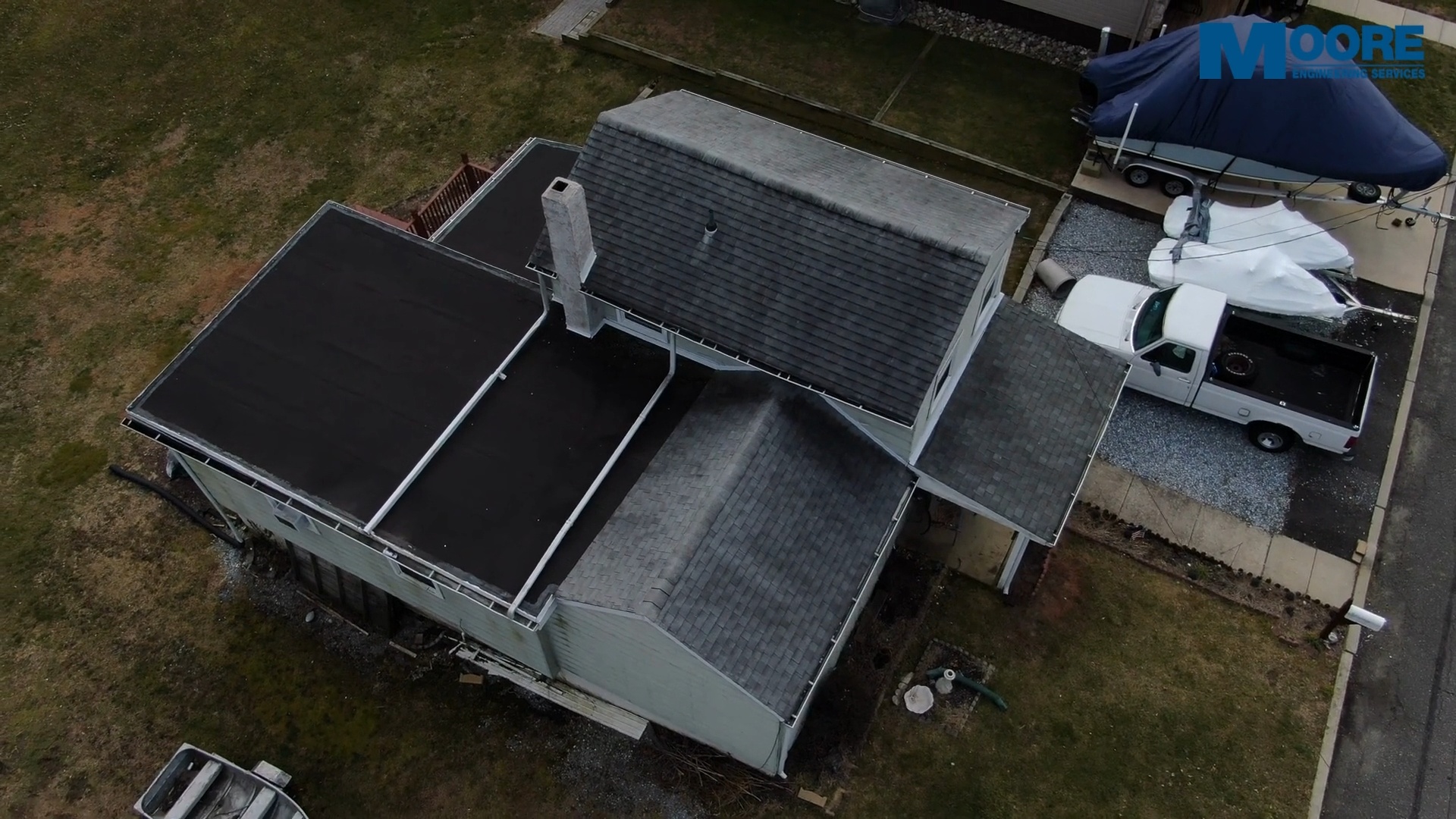
Equipped with state-of-the-art 4k cameras and infrared sensors, we collect temperature data—perfect for roof inspections and land surveying. Thermography can pinpoint invisible defects ranging from structural, electrical, and even heating. Instead of spending countless hours and dollars trying to figure out what is the cause of your issue, we can instead fly our drone and find the problem for you.
Inspections
Whether there was a slip, trip, or fall that needs investigating, or a large patch of land needs to be viewed before, during, or after a project, our drone services allow aerial view of areas that may be dangerous. That is the beauty of unmanned aircrafts.
We can take this even further for parking lot inspections to evaluate drainage. Important for not just construction, but also safety of pedestrians, we can map out potential drainage hazards from above.
Fly With Moore
As FAA licensed drone pilots, we are always looking for opportunities to share this technology with those who need it. You can read more about our drone services here. These are just a few examples of the benefit drone technology, and Moore Engineering Services, provides. The possibilities are truly endless. Please contact us for a complimentary consultation via phone at 856-437-7900 or through the contact form below to decide the best drone strategy for you.
As always, Test Moore, Fail less.
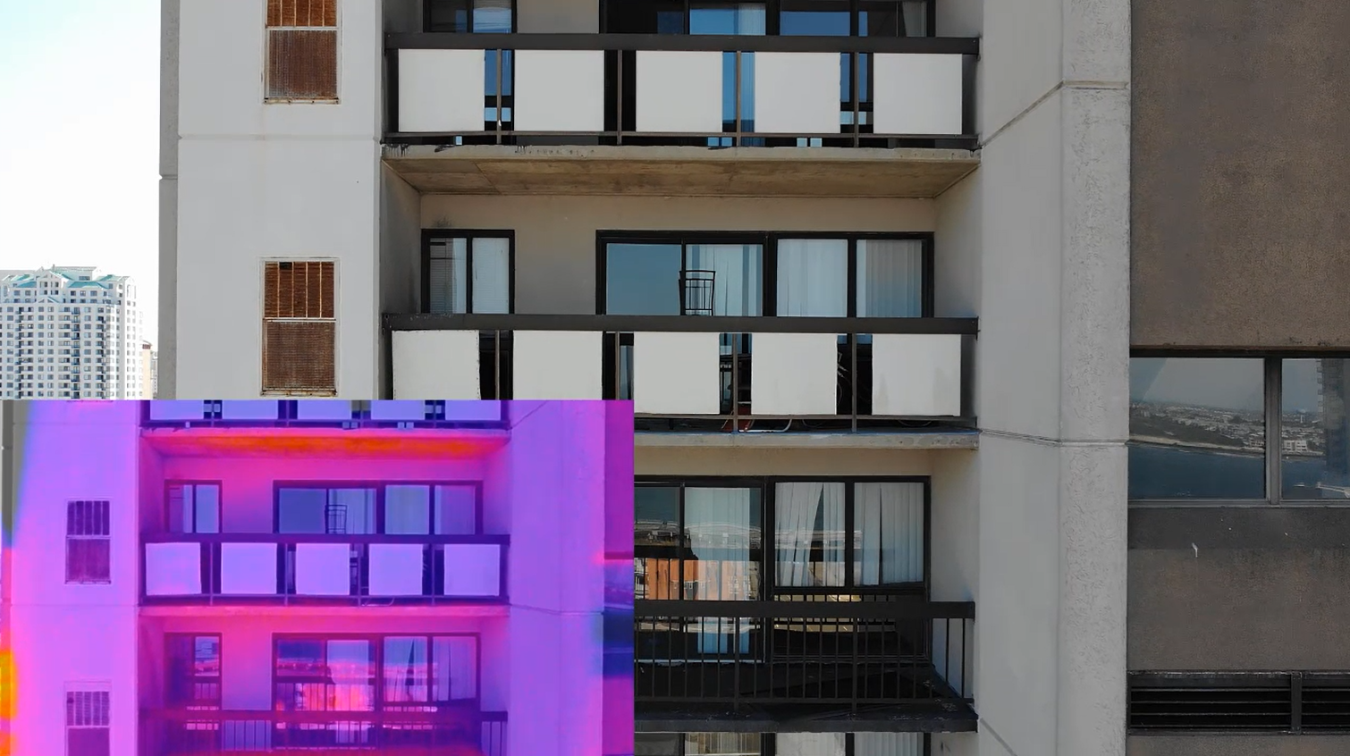
Infrared Drone Inspection



Leave A Comment